How to Vibe Code Tools to Model Forest City for Rainfall and Runoff
In case you cannot make it, I am showing you the Replit app, which uses weather APIs to model the water balance of Forest City.
https://forestcitywaterplanner.com/
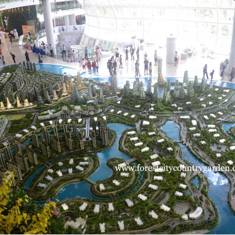
The Forest City Infrastructure Management System is a comprehensive web-based platform designed for monitoring and analyzing the infrastructure systems of Forest City, Malaysia—a massive artificial island development project in Johor. The application serves as both a real-time monitoring tool and educational resource, providing interactive mapping of water treatment facilities, drainage systems, transportation networks, and foundation infrastructure across the four artificial islands. Users can visualize infrastructure locations through an interactive Leaflet-based map with custom markers and detailed popup information while accessing real-time operational status through the System Health Monitor that displays color-coded indicators for each system's performance.
Beyond infrastructure monitoring, the platform functions as a comprehensive educational and research hub featuring detailed hydrological analysis tools, stormwater management approaches, and extensive historical documentation of Forest City's development. The application includes specialized components for mass balance calculations, monthly water balance analysis, nature-based stormwater solutions, and future development planning with visual maps and geological survey data. Users can access comprehensive academic research through the Development History section, which provides detailed analysis of Forest City's evolution from eco-city vision to Special Financial Zone, including environmental challenges, property market dynamics, and strategic planning insights. The platform combines real-time operational data with professional development resources, making it valuable for infrastructure professionals, urban planners, environmental engineers, and researchers studying sustainable development in artificial island environments.